Plan Your Trip
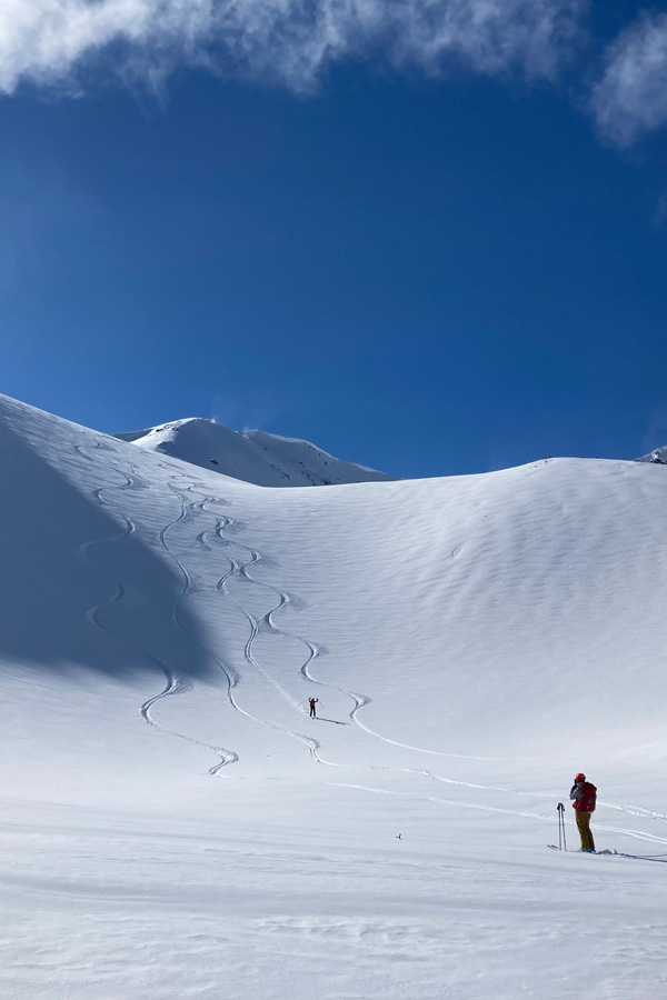
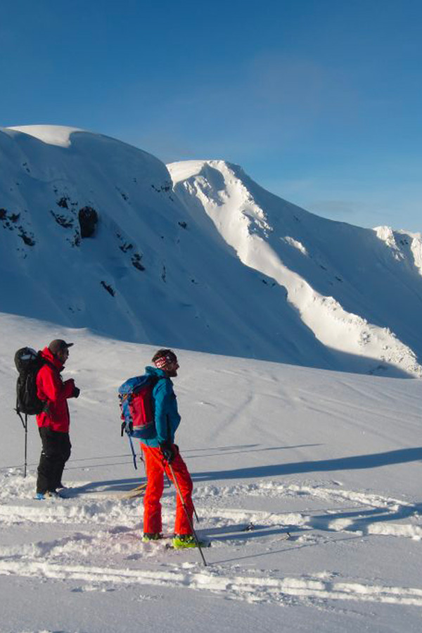
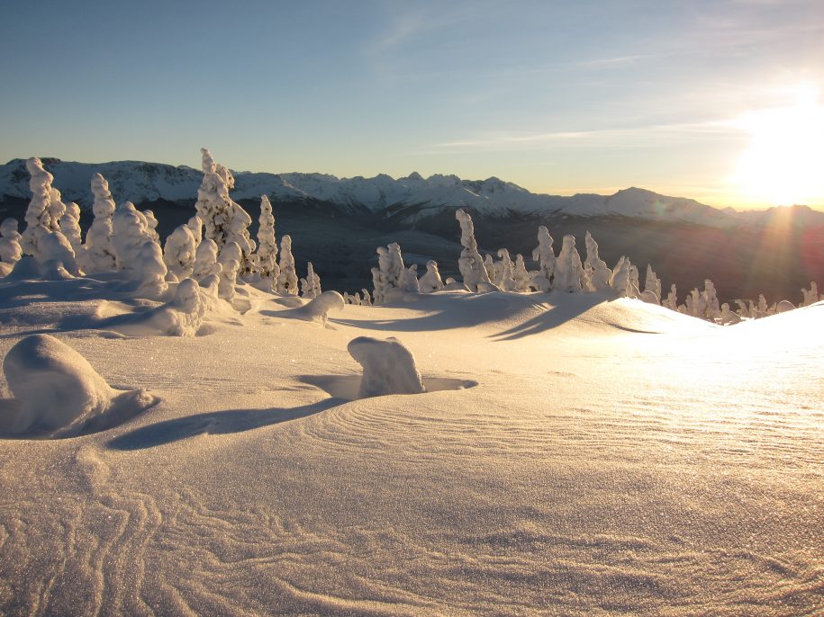
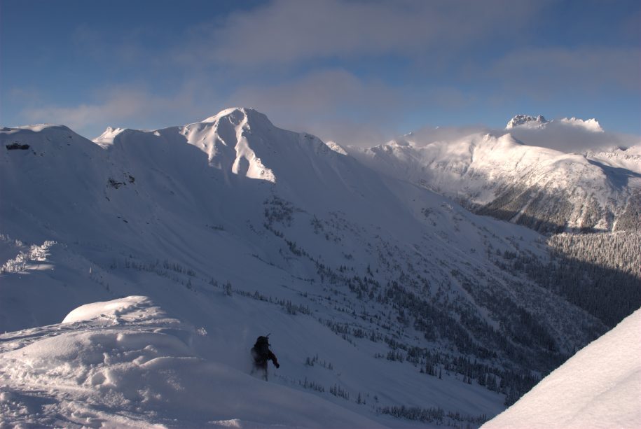
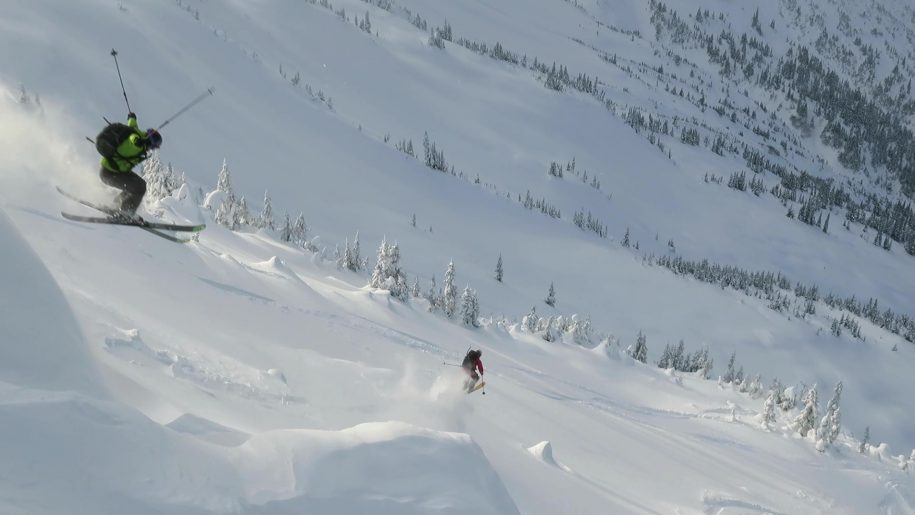
Welcome to the backcountry of the Bulkley Valley, where the landscape boasts endless terrain and breathtaking lines waiting to be discovered. If your idea of a perfect day involves carving your way through fresh powder, you’re in for a treat. Thanks to the tireless efforts of our committed volunteers, we’ve established some truly picturesque backcountry locations, ensuring access for our non-motorized communities. Below, discover our most sought-after areas.
Know Before You Go
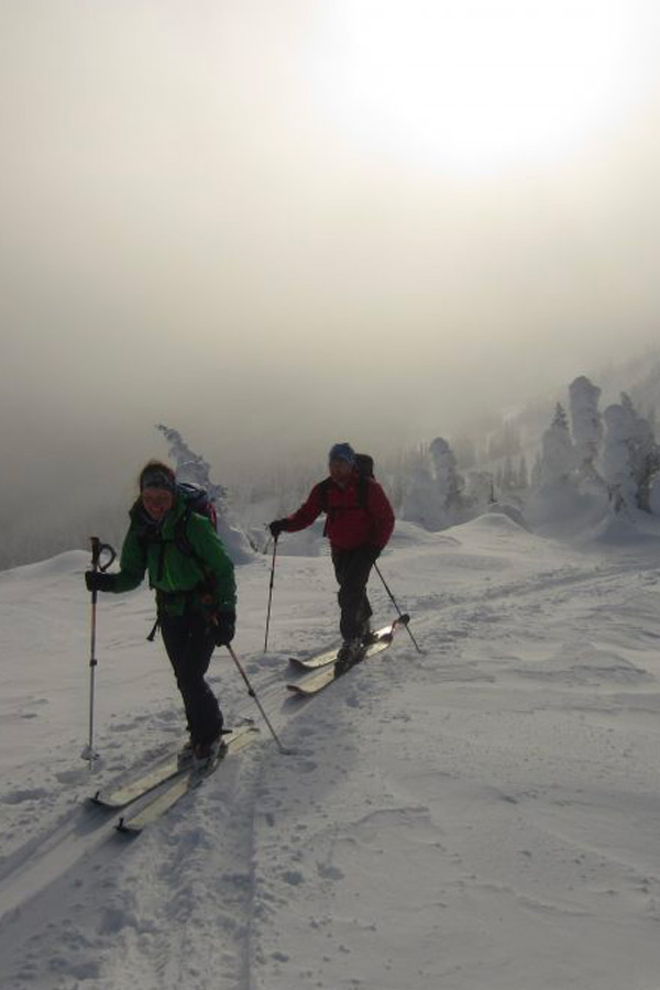
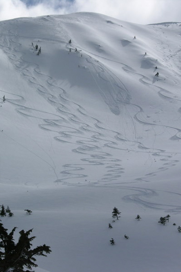
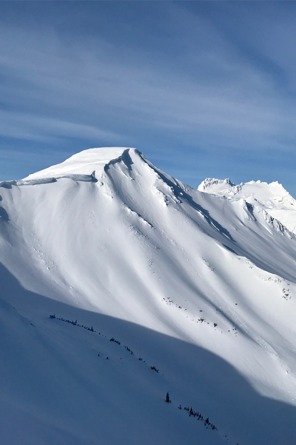
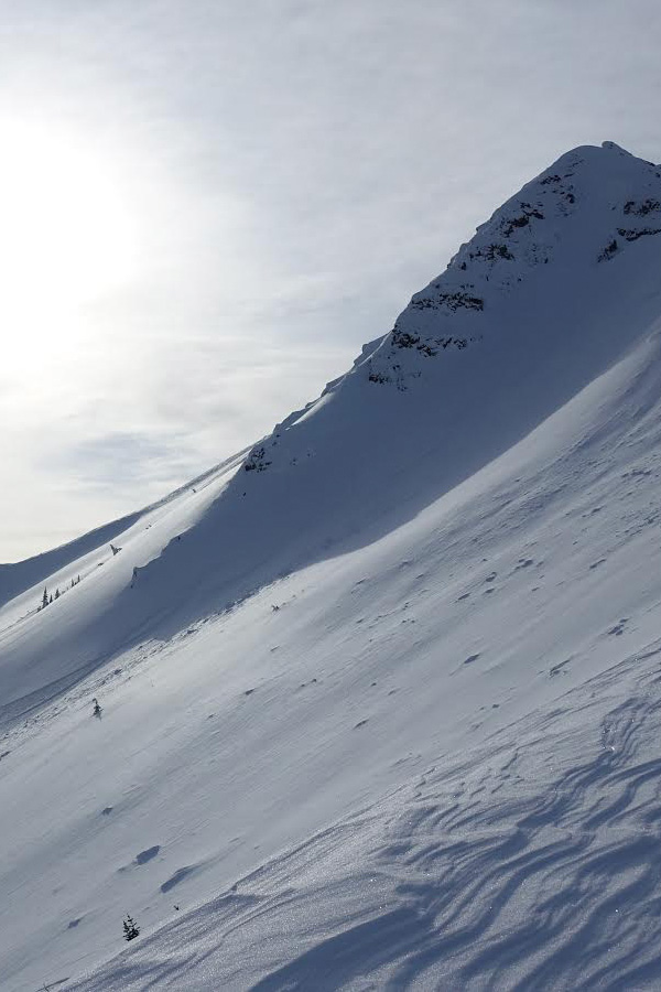
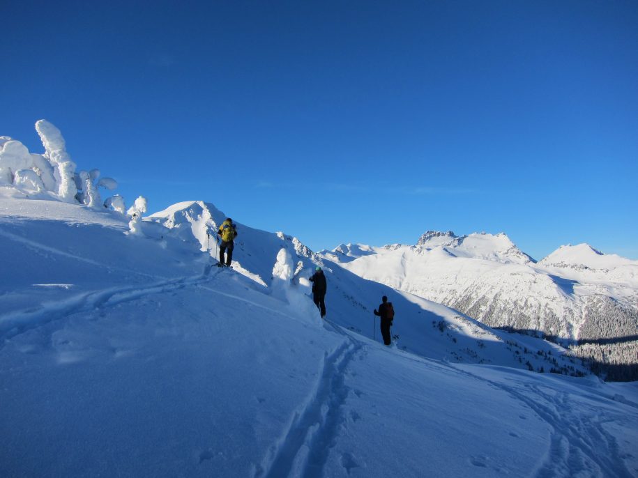
Ashman Ridge
Info
Welcome to Ashman Ridge: Where Adventure Meets Nature’s Bounty
Directions
Depart from Smithers via Hudson Bay Mountain Rd. After approximately 13km, make a left onto McDonnell Lake Road. Follow McDonnell Lake FSR until you reach the 39km marker, then veer right and continue for approximately 8km along the Cable FSR. Note that these roads are typically not maintained during winter and will likely require a snowmobile for access.
During winter, if maintenance of McDonnell Lake FSR is occurring it is carried out by logging activity. When logging traffic isn’t present, a few local residents maintain the road. It’s important to not obstruct their access with vehicles or trailers
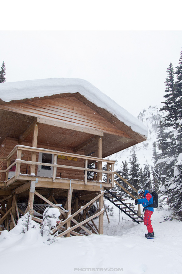
Cabin
The BBSS was lucky enough to receive a donated travel trailer named “the Skylark” which now serves a more permanent role as basecamp. A new roof was placed on this trailer in 2018, and facilities include wood stove, firewood, basic kitchen cookware, propane stove, and approximately four places for a thermarest. Please respect this wonderful place, find booking instructions below.
Geo-Referenced Maps
BBSS recommends using a GPS enabled app, such as Avenza Maps if you are unfamiliar with our terrain. The maps below can be viewed in standard PDF format and allow for an application such as Avenza to show you were you are.
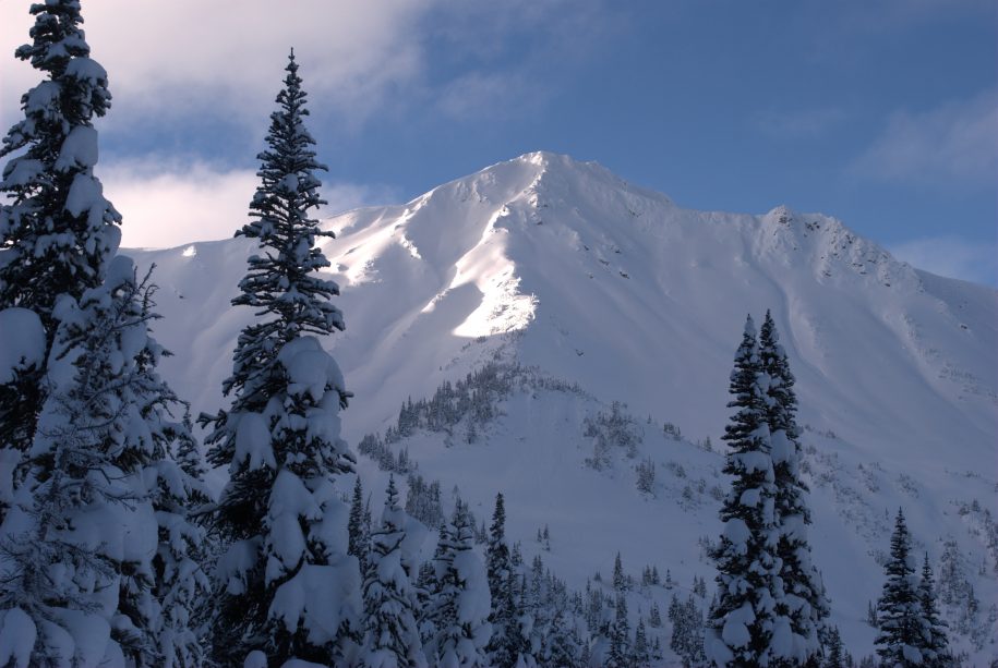
Hankin – Evelyn Recreation Ski Areas
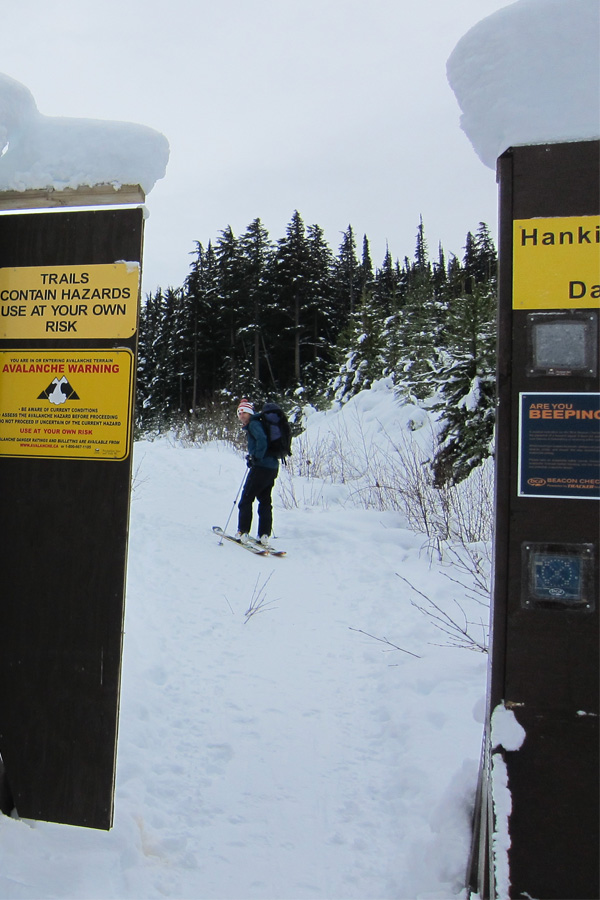
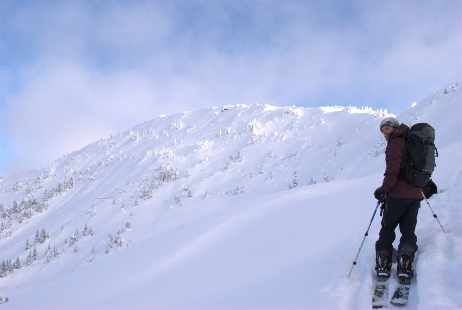
The Hankin-Evelyn Backcountry Recreation area proved to be a new approach to backcountry skiing in the Bulkley Valley. Essentially a ski resort without lifts or groomers, a series of eleven cut trails are found below treeline with opportunity for alpine skiing in any number of bowls. This model leaves the daily ski objective up to your group, with something to put a smile on everyone’s face.
In 2008 local Brian Hall initiated the project with the assistance of Jay Gilden and the BV Backpackers Society. By 2010 the runs had been cut, an existing fire lookout upgraded to a winter ready cabin, and a new warming hut constructed. The project was adopted by the Bulkley Backcountry Ski Society and fell under the umbrella of Recreation Sites and Trails BC and remains managed by these organizations. Local businesses have long been faithful supporters, see our sponsors below! All road plowing is done with the help of donations, memberships and RSTBC, and maintenance on the trails by generous volunteers.
Hankin
Info
Discover the Hankin Backcountry Ski Area: Where Adventure Awaits
Dive into the wonderland of Hankin Backcountry Ski Area, featuring a low-elevation trail leading to the fire lookout, perfectly designed for the ease of snowshoers. Explore the thrill of eleven cut runs beneath the treeline, complemented by the convenience of a welcoming day-use warming hut.
Delve further into the alpine bowls, easily accessible as the cut runs extend to the treeline. Yet, it’s important to note that while these areas offer temptation, they aren’t officially part of the recreation area. As you tread into these zones, exercise your best judgment and extreme caution. Remember, in this untamed wilderness, being smart, well-prepared.
Directions
Journey north from Smithers on Highway 16, take the exit onto Kitseguecla Loop Road. Follow the signage leading to the ski area. Travel approximately 8km down Kitseguecla Lake Road before making a left turn onto the Uptrack Forest Service Road. Finally, this road leads you straight to the Hankin Parking Lot. It’s essential to note that the upper section of Uptrack FSR is a narrow one-lane road where descending traffic has the right of way. Trailers are not permitted on the Uptrack FSR.
Warming Hut
The Hankin warming hut was built in 2010. This cabin is strictly designated for daytime use and has never been intended for overnight stays. Inside, you’ll discover an emergency first aid kit, a rescue sled (kindly donated by Raven Rescue and Smithers Ski Patrol) and various items left by fellow visitors over the years. Please sign our logbook, sharing your memorable day-tripping adventures.
Fire Lookout Cabin
Looking for a cozy adventure hub? Look no further than the Fire Lookout Cabin! This snug space comfortably accommodates around six outdoor-loving souls and comes equipped with basic cookware, a brand new propane stove, and a stash of firewood to keep the good times going. Plus, in 2023, a shiny new woodshed was added – not just to spruce things up, but to kindly hint to the local packrat to find a new home (and, of course, to amp up safety around the cabin).
If you have booked the cabin feel free to enjoy the firewood, however, it is for indoor use only. Remember, leave the cabin sparkling like you found it and keep the wood stove flames in check.
And here’s the kicker: by booking this cabin, you’re not just scoring a fantastic spot, you’re also supporting the maintenance of this cabin and ski area! So, get booking below and be a part of keeping this backcountry paradise alive and thriving!
Geo-Referenced Maps
BBSS recommends using a GPS enabled app, such as Avenza Maps if you are unfamiliar with our terrain. The maps below can be viewed in standard PDF format and allow for an application such as Avenza to show you were you are.
Evelyn
Info
Exploring the Vastness of Evelyn Backcountry Ski Area
Set against the majestic Elliot Peak, the Evelyn Backcountry Ski area serves as a gateway to a tapestry of breathtaking alpine basins. With two cut runs that gracefully lead up to the treeline, this terrain invites adventurers to explore its charm.
As you set out to conquer these backcountry routes, remember to rely on your finest judgment and exercise extreme caution. The allure of these uncharted paths beckons, but navigating them demands careful consideration and skill.
Directions
Head north of Smithers on Highway 16, then take a left onto Owens Rd. (signed for Toboggan Creek Fish Hatchery). Turn left onto Pope Rd., then make another left onto Rope Rd., followed by a right onto Raufer Rd. Continue until the end of Rauter Rd., then turn left and proceed until you reach the newly plowed parking area. Introduced in 2023, this parking spot offers a safe and convenient access point. Refer to this map, highlighting the updated parking location and a secure pathway around the active gravel pit.
Maps
This area is now on TrailForks, if you’re familiar with the app for your phone you’ll find it there after updating your area. If not, check it out below and get the app on your phone if you’re thinking you would like to have it!

East Boulder Creek
Info
Embark on an exhilarating backcountry adventure where the BBSS has established a wilderness campsite, hidden in a remote paradise. Access essential maps here to navigate the challenging journey—a long approach on an unmaintained road followed by a steep climb through a forested route. Suited for winter camping, the area boasts two highlighted routes on the overview map, each promising unique challenges and breathtaking rewards. Your destination awaits at coordinates 55.08995, -127.43936, offering solitude and the authentic wilderness experience where a simple biffy is the sole amenity.
Directions
There are two options for parking to access east boulder creek skiing, one to the north and one to the south side of Boulder Creek (circled in red). If you are planning to overnight it is recommended to leave a note on the car that can be visible after snowfall so RCMP (and highway maintenance) are able to identify the car is not abandoned. This will ensure your car is still there to take you home at the end of your trip!
Geo-Referenced Maps